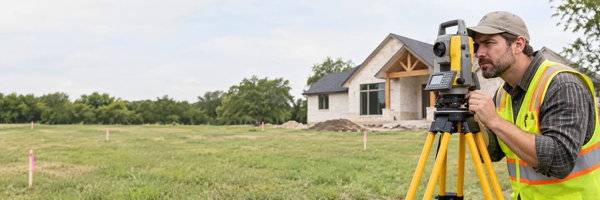

Columbus Land Surveying is a local land surveying service based in Worthington, Ohio that provides ALTA surveys, boundary surveys, drone LiDAR mapping, elevation certificates, topographic surveys, and general land surveying services to the Greater Columbus area. Columbus Land Surveying offers field expertise for homeowners, developers, and professionals, provides guidance on flood maps and FEMA requirements, and emphasizes practical, local surveying solutions with phone support through (614) 591-8665.
