Chase, Jones & Associates is a land surveying company with a long-standing history dating back to 1885, reflecting deep expertise and experience in the field. Located in Portland, Oregon, the company offers a comprehensive range of surveying services, including but not limited to Court Exhibits, Condominium Plats, Hydrographic Work, Lot Surveys, Court & boundary disputes, Construction layout, Boundaries, Topographic, and ALTA Surveys. They operate Monday through Friday, with Saturday appointments available, demonstrating flexibility to meet client needs.
Land Surveyors in Corbett, OR
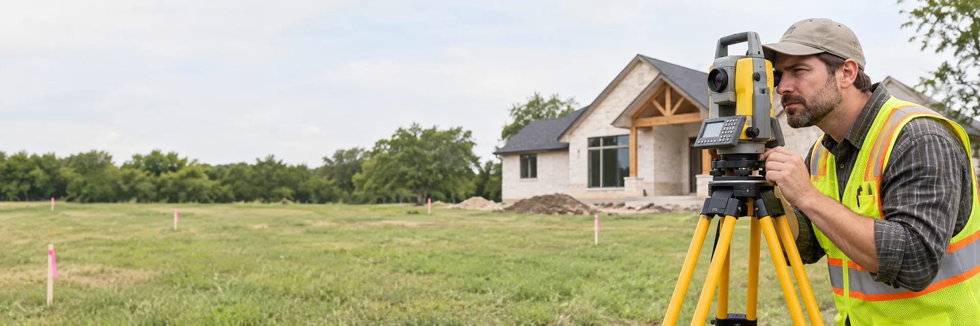
Land surveyors measure and map property boundaries, structures and terrain. Homeowners hire them to find property lines, plan fences or additions, prepare site plans for permits and resolve boundary questions.
Read more about Land Surveyors Show less
Common land surveying services include:
- Boundary and property line surveys
- Marking corners and staking lines
- Topographic surveys
- Site plans for permits and construction
- Elevation certificates for flood zones
Hire a land surveyor before building a fence, addition or ADU near a property line, when buying land or when a lender, title company or permit office requires a survey.
Rather tell us about the job and have pros reach out? Find Pros
Filtering by:
Land Surveyors
×

Compass Land Surveyors is a professional land surveying company serving Oregon and Washington with a strong focus on the Portland metro region. Established in 1968, the company has decades of experience providing surveying services for municipalities, service districts, private developers, contractors, and individuals. With senior-level staff who bring more than 35 years of expertise in the Pacific Northwest, Compass Land Surveyors delivers timely and cost-effective solutions for both public works and private development projects. The company values building personal relationships with clients and prides itself on measuring success through the success of its clients, embracing challenges as opportunities to provide practical and reliable surveying solutions.

HERITAGE Land Surveying & Engineering, Inc., formerly Heritage Surveys, Inc., opened its doors in October of 1976. Our headquarters is located in the scenic and peaceful Western Massachusetts town of Southampton. Inside, the staff works on a state-of-the art networked computer system while the field crew visits sites throughout Hampshire and Hampden counties, collecting data. HLSE works like a close-knit team. Most employees have worked at Heritage for more than ten years, with several having more than 20 years of experience and others dating back to its inception. As a result, we are able to provide a continuity of service that many clients greatly appreciate and we also often can build from an established base of information for individual projects. The President of HERITAGE Land Surveying & Engineering, Inc. is Bruce Hunsaker. The HLSE staff works cooperatively with other consultants and professionals such as architects, engineers, attorneys, landscape architects, foresters, photogrammetrists and environmental professionals. We frequently will pull together a team of professionals to provide comprehensive supervision and coordination of all services for a particular project. HLSE has been on the leading edge of technological improvement since its establishment. It was one of the first firms in the region to use and become proficient with the AutoCAD and Softdesk programs. For many years, our staff members have been obtaining field measurements of angles and distances electronically, then downloading the data into our state-of-the-art computer system. Employees have undergone training courses in the use of field and office equipment, and regularly attend courses and seminars to keep abreast of the latest improvements. Heritage Surveys, Inc. has received several winning awards in the Cadastral Survey, Title Insurance Plan, and Engineering Site and Subdivision Plan categories at the MALSCE Conventions in recent years.

Statewide Land Surveying, Inc. is a leading provider of surveying services across the Pacific Northwest, specializing in land, hydrographic, and habitat restoration surveys. The company utilizes advanced technologies such as UAVs, GPS systems, and sonar equipment to deliver precise and cost-effective results on land, in water, and from the air. With a team experienced in both field and office work, Statewide offers a full spectrum of services including ALTA, boundary, cadastral, construction, environmental, flood certification, geodetic, hydrographic, and topographic surveys. The company emphasizes customer satisfaction, safety, continual staff education, and technology investment to ensure timely, accurate, and budget-conscious project delivery. Statewide maintains offices in Gresham and Baker City, Oregon, and continues to build its reputation on quality, responsiveness, and a commitment to client success.
Find Pros
Need Land Surveyors?
Tell us what you need and connect with up to 5 service professionals.
Land Survey Questions and Answers
What does a land surveyor do?
A land surveyor researches records, measures the property in the field, locates or sets boundary markers and prepares maps or plats that show boundaries, structures and features.
When do I need a property survey?
Common reasons include installing a fence, building an addition or ADU, resolving a dispute with a neighbor, subdividing land, buying property or meeting lender, title or permit requirements.
How do I choose a land surveyor?
Land surveyors are licensed by the state, so confirm the license. Ask which type of survey fits your needs, what deliverables you will receive and whether corners will be marked in the field.
What affects the cost of a land survey?
Cost depends on the type of survey, lot size and terrain, the availability of records and existing markers, vegetation, travel and the deliverables required.
How should I prepare for a land survey?
Gather your deed, previous surveys and plat maps, unlock gates and secure pets. Tell the surveyor why you need the survey so they recommend the right type.